Home / 3D Maps / National Park 3D Maps / Grand Teton
![]()
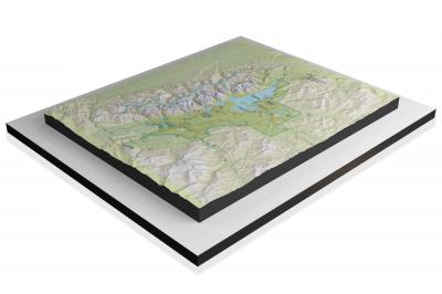
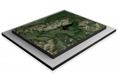
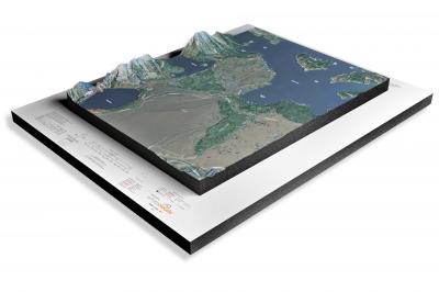
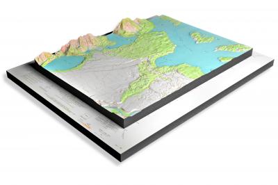
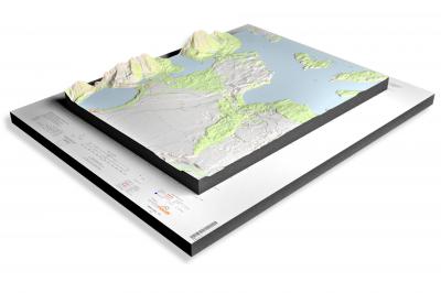
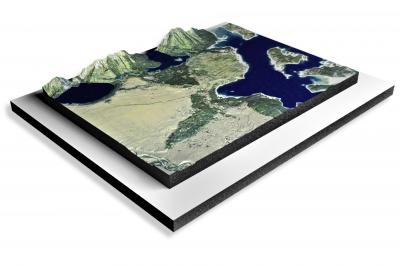
Shop WhiteClouds for some of the best Grand Teton National Park Maps 3D Raised-Relief Map Models. Multiple styles to choose from including NPS park maps, satellite Google Earth imagery, Terrain imagery and USGS historical and current maps.