Home / National Park Maps
![]()
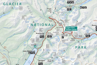
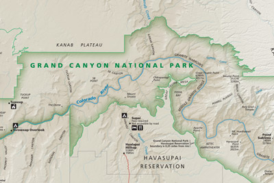
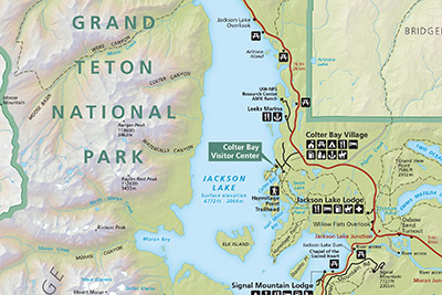
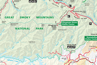
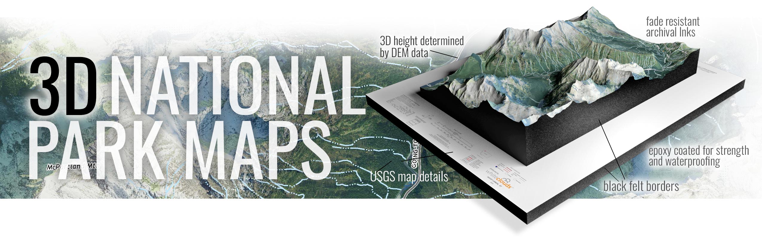
Shop WhiteClouds 3D National Park Raised Relief Maps with several three-dimensional map styles to choose from. These raised relief maps are not flat. They are three-dimensional, with the height being determined by Digital Elevation Model (DEM) data. These 3D topography raised relief maps are built by combining satellite imagery data from the USGS, Google Earth, Google Maps, and DEM data. Make a statement with these beautiful 3D map images of the most popular Unites States National Park destinations.