Home / 3D Topographies Raised Relief Maps / USGS 3D Topographical Raised Relief Maps

![]()
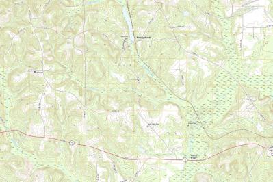
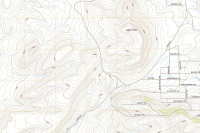
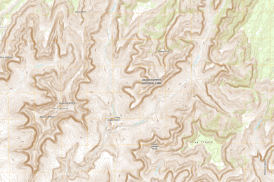
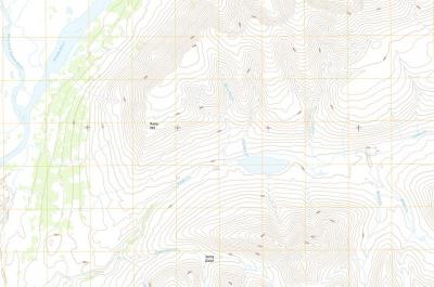
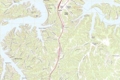
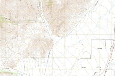
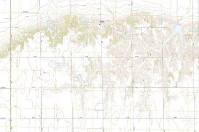
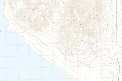
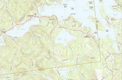
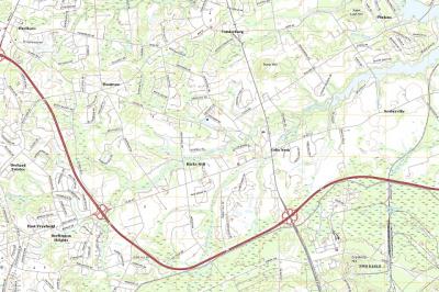
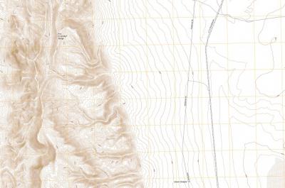
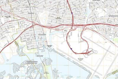
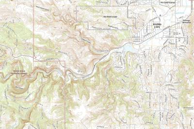
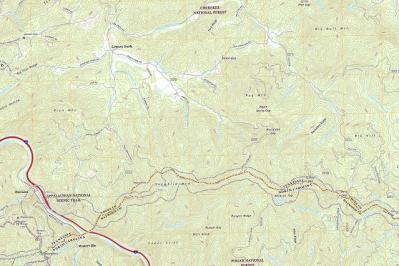
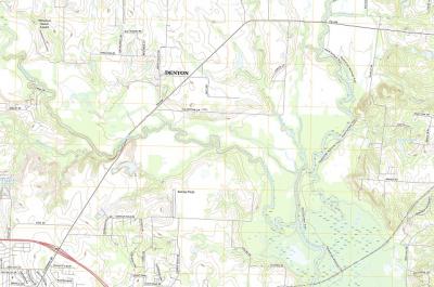
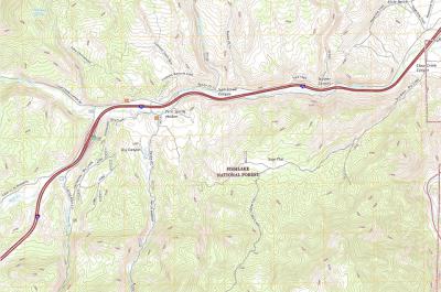
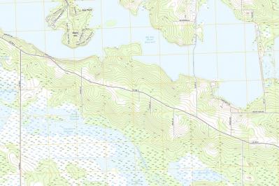
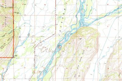
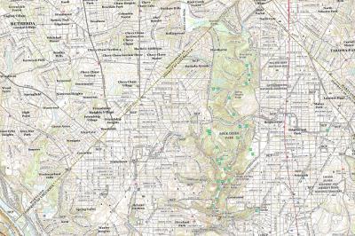
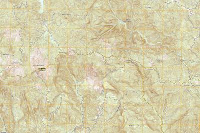
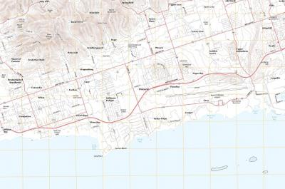
Shop WhiteClouds USGS 3D Topographical Raised Relief Maps with 65,240 three-dimensional maps to choose from. These raised relief maps are not flat. They are three-dimensional, with the height being determined by Digital Elevation Model data. The USGS (United States Geological Survey) was entrusted with the responsibility for mapping the country in 1879 and has been the primary civilian mapping agency of the United States ever since. Most of these topo maps are the 1:24,000-scale topographic maps, also known as 7.5-minute quadrangles. Make a statement with these beautiful topographical raised relief map images from every part of the United States.