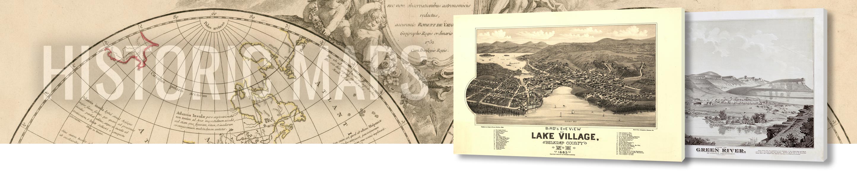
Home / Canvas Wraps / Historical Maps Canvas Wraps / USA Historical Maps
![]()
Shop WhiteClouds for some of the best Historic US Maps wall canvas art images online. Humans have created and used maps for centuries, many of which are intricately designed. These antique works of art of the United States of America can bring a little bit of history into your space.
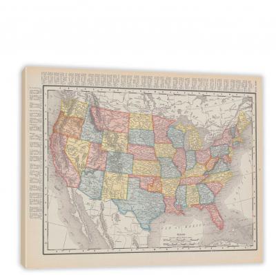
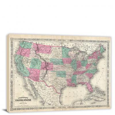
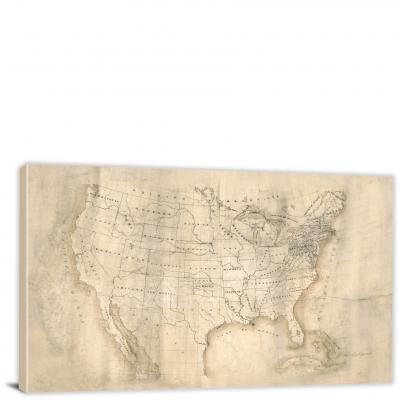
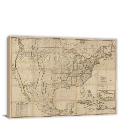
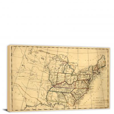
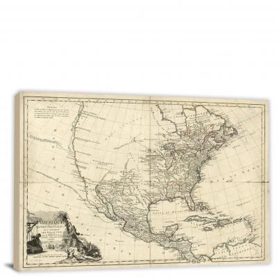
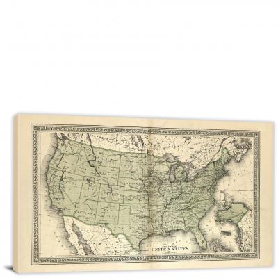
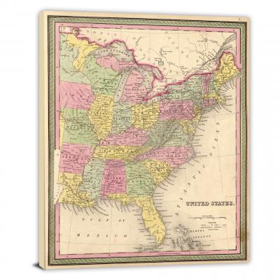
For those captivated by the rich and complex tapestry of America's past, USA Historical Maps offer an unparalleled exploration. These are not just simple representations of geographical space; they're a gateway to the past, narrating stories of a nation's birth, struggles, growth, and transformation. Let's embark on this exciting journey through time and space, traversing the pages of America's past through its historical maps.
Historical Maps: Chronological Storytellers
Historical maps serve as chronological storytellers. They encapsulate different eras, reflecting the prevailing political, socio-economic, and cultural contexts. Early maps of the USA depict a young nation taking its first steps towards independence and nation-building, while later ones mark pivotal moments like territorial expansions, wars, the industrial revolution, or civil rights movements. Each map is a snapshot in time, etching America's evolution in vivid detail.
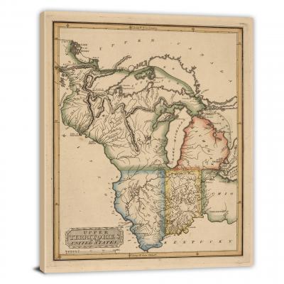
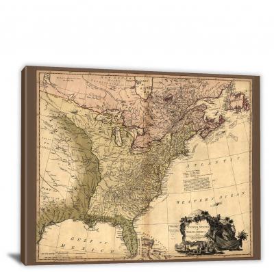
Early Maps: New Land, New Beginnings
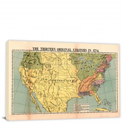
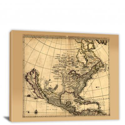
Early USA historical maps, often hand-drawn by explorers or cartographers, portray the then-known boundaries and knowledge of the land. Maps from the 16th and 17th centuries depict a largely unexplored landscape, with native tribes, forests, rivers, and the initial European colonies. The famous "Map of New England" by John Smith (1616) and the "Map of Virginia" by Captain John White (1590) offer fascinating insights into the early English colonies.
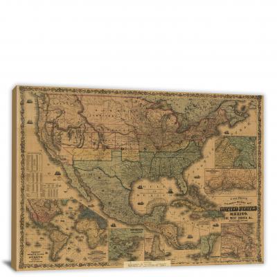
Expansion Era: Manifest Destiny and Beyond
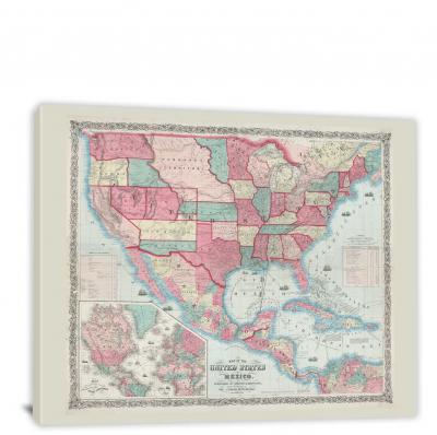
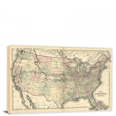
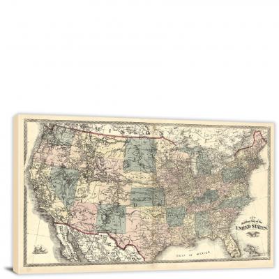
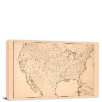
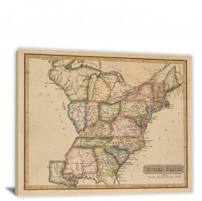
As the young nation set its eyes westward in the 19th century, maps began to reflect the evolving ideology of Manifest Destiny. The Lewis and Clark Expedition map (1804-1806), for instance, documents their journey across the western frontier, paving the way for expansion. Later maps, such as the "Map of the United States, and Texas" (1844), depict the annexation of Texas and the reshaping of national boundaries.
Civil War and Reconstruction: A Nation Divided and Reunited
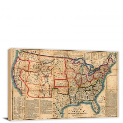
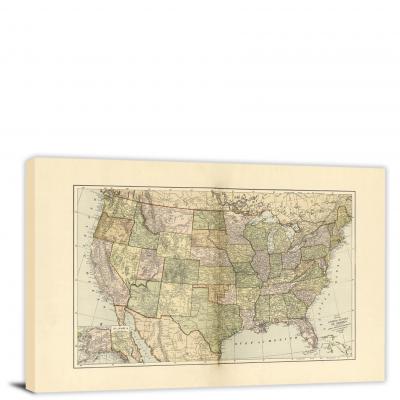
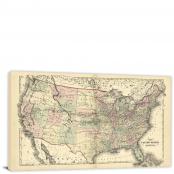
Maps from the Civil War period highlight a nation torn apart, demarcating the Union and Confederate states, battle sites, and slave populations. Post-war, the Reconstruction era maps showcase the rebuilding and reunification process. These maps, such as the "Colton's Map of the United States of America" (1861) and the "Lloyd's New Military Map of the Border and Southern States" (1863), bear witness to a transformative period in American history.
20th Century: Industrialization and Global Influence
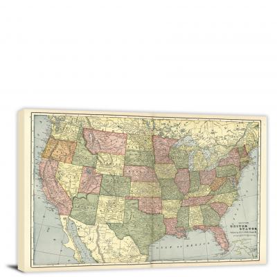
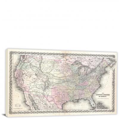
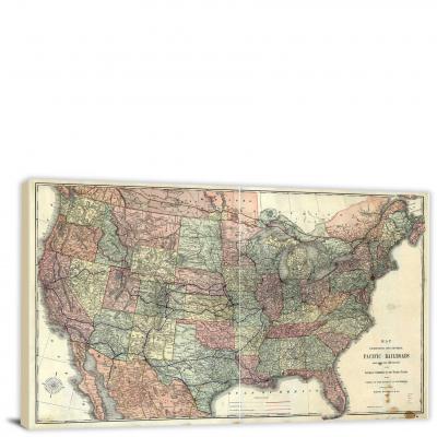
As America stepped into the 20th century, the focus of historical maps shifted to industrialization, urbanization, infrastructure development, and global politics. The Rand McNally maps highlight the expanding highway and railway networks, while maps from the World War periods reflect America's growing global influence.
Decoding Historical Maps: Symbols, Colors, and Text
USA Historical Maps are laden with symbols, colors, and text, each signifying specific elements. Political boundaries, natural features, cities, roadways, trade routes, population densities, military engagements - each aspect is uniquely represented. By understanding the map key or legend and the context of the map's creation, one can decode the rich historical narratives hidden in these maps.
Conclusion: Past Meets Present
USA Historical Maps are more than static, historical artifacts; they are vibrant narrators of the nation's past, reflecting the ebbs and flows of American history. They serve as invaluable tools for historians, educators, researchers, and anyone interested in understanding the roots of present-day America. As we advance into the digital age, these maps continue to be digitized and made accessible, enabling us to traverse through time from the comfort of our screens. USA Historical Maps, therefore, bridge the past and the present, reminding us of our origins, our journeys, and our progress, one map at a time.