Home / Canvas Wraps / Historical Map Canvas Wraps / USGS Historical Topo Maps
![]()
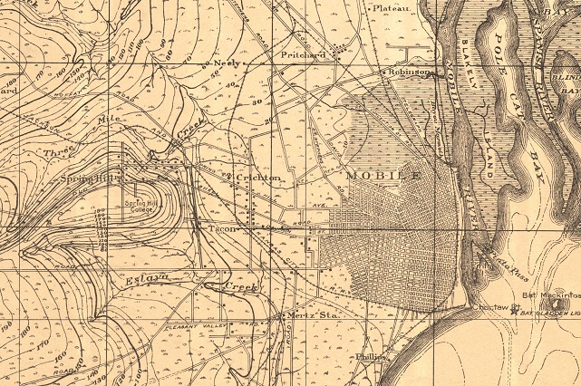
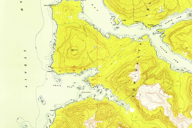
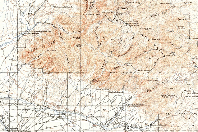
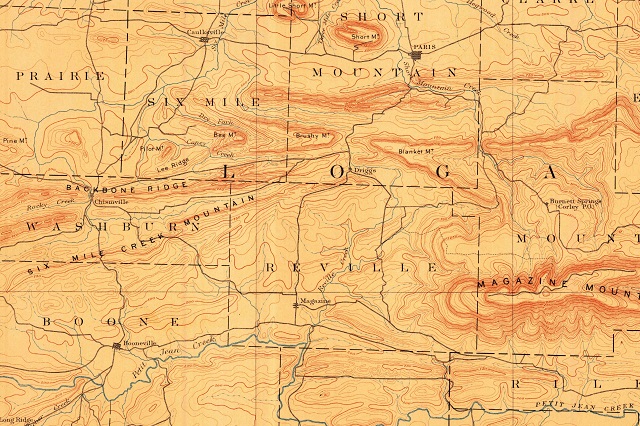
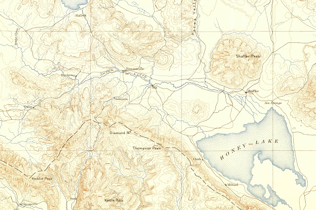
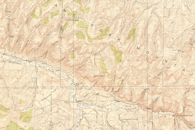
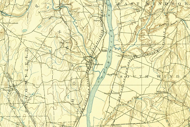
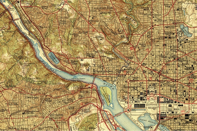
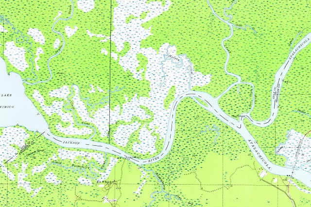
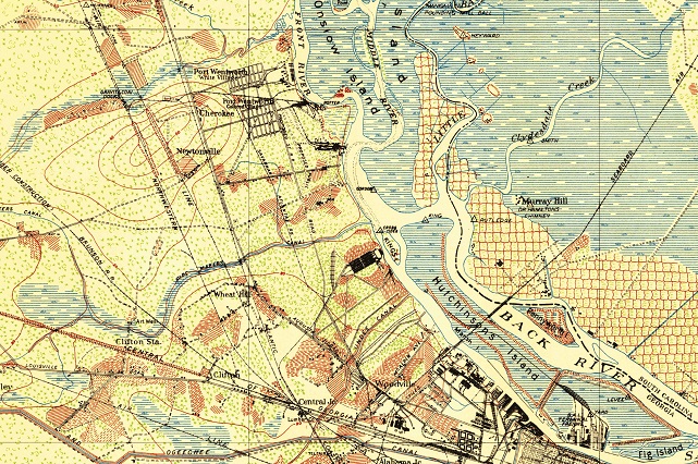
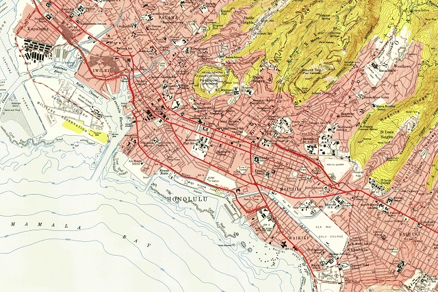
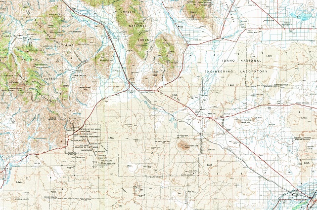
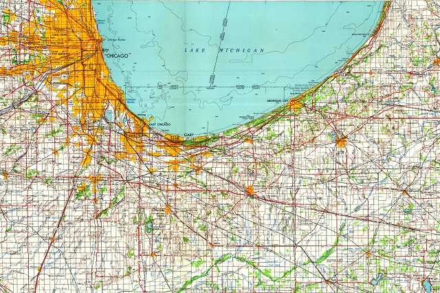
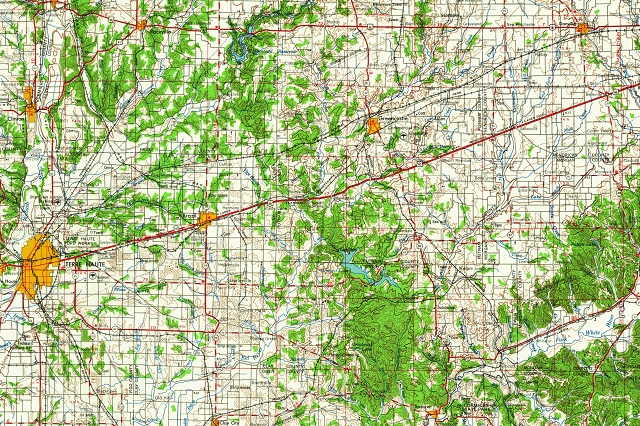
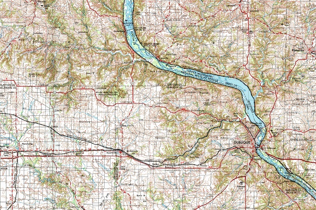
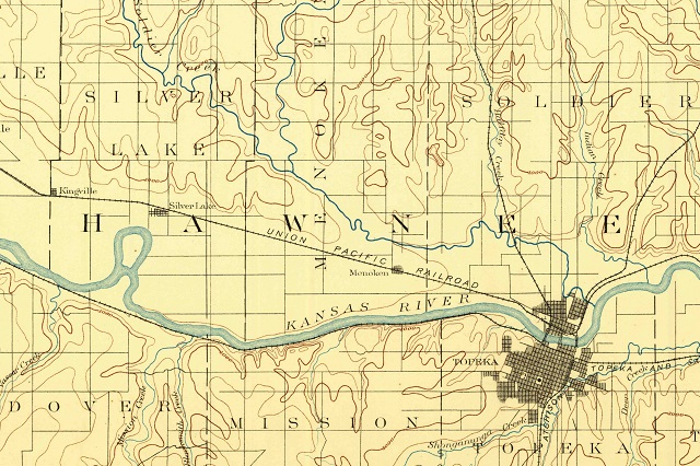
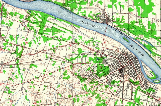
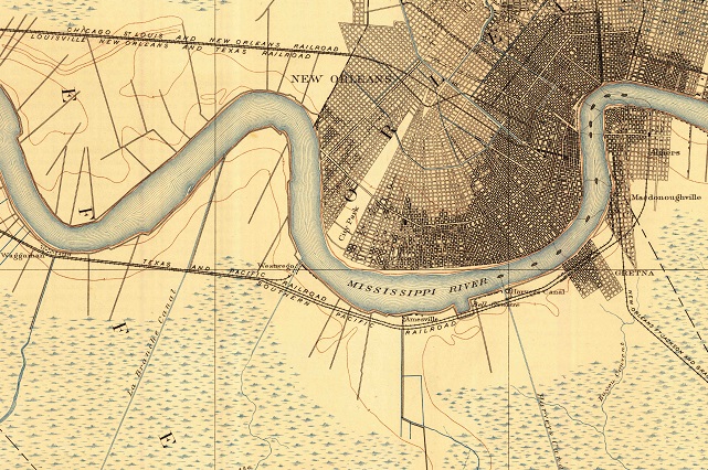
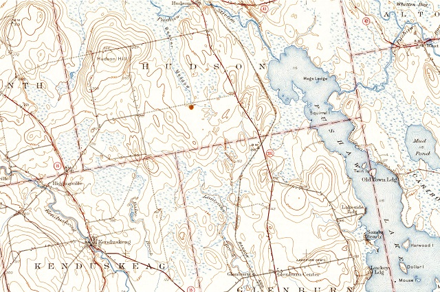
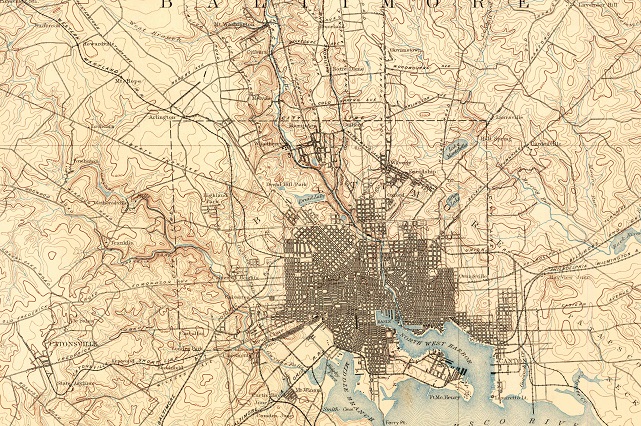
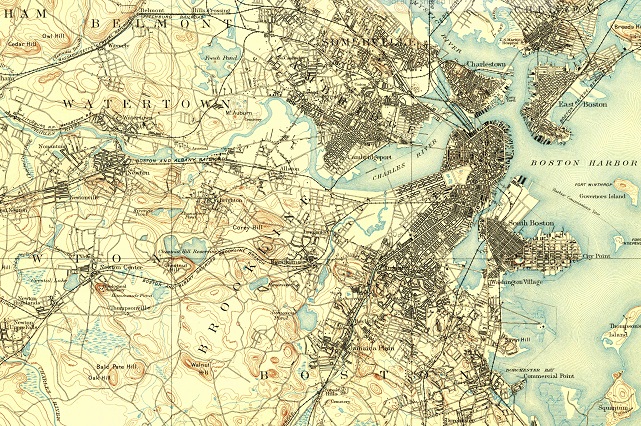
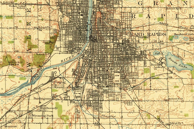
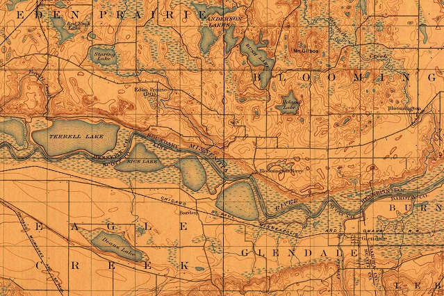
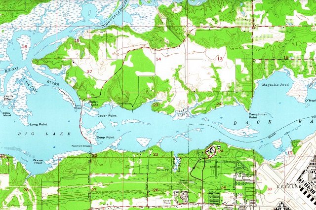
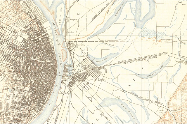
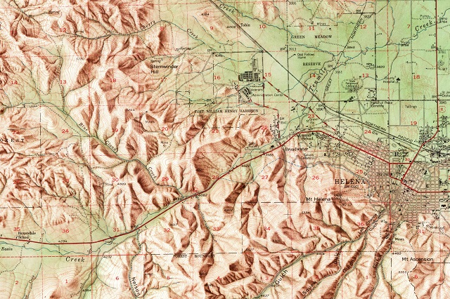
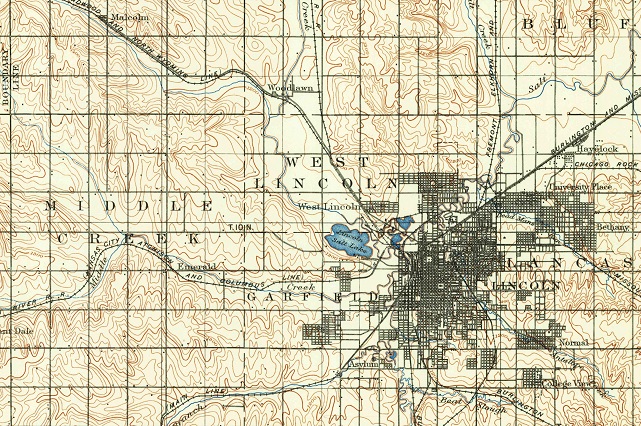
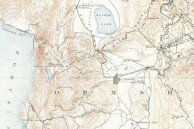
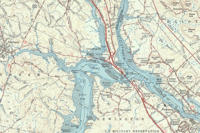
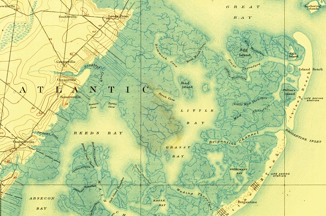
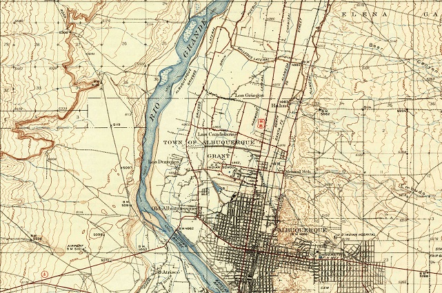
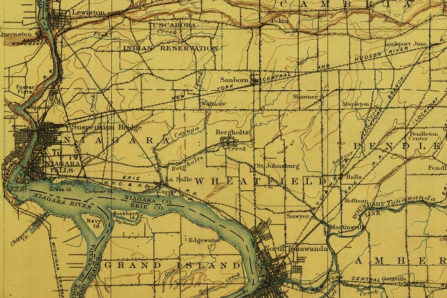
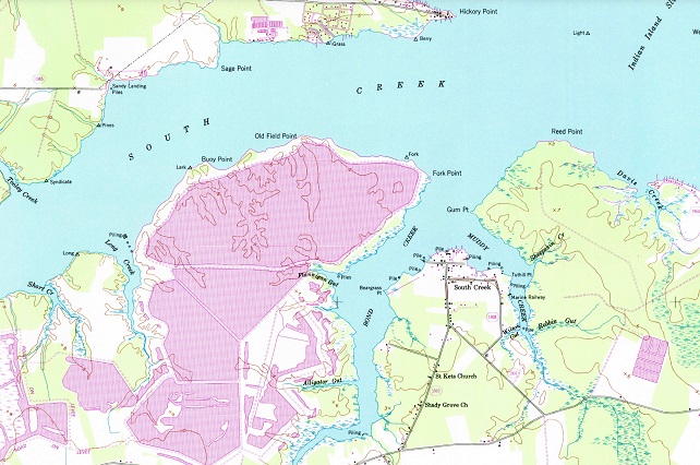
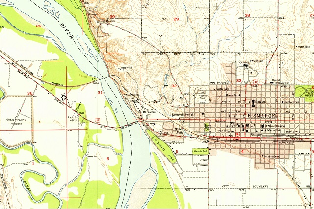
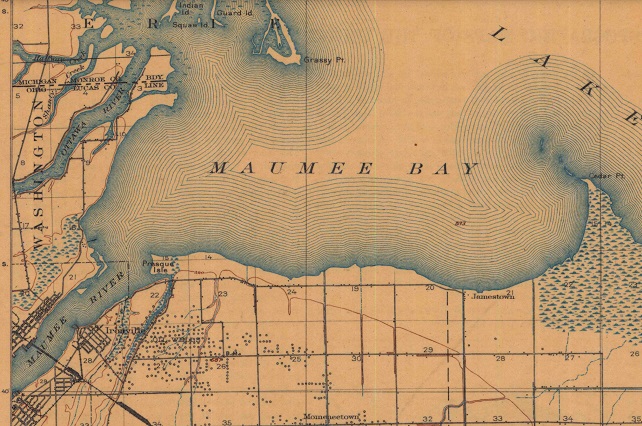
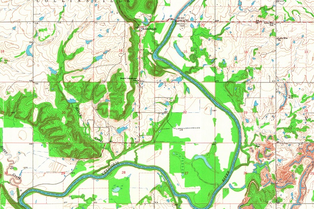
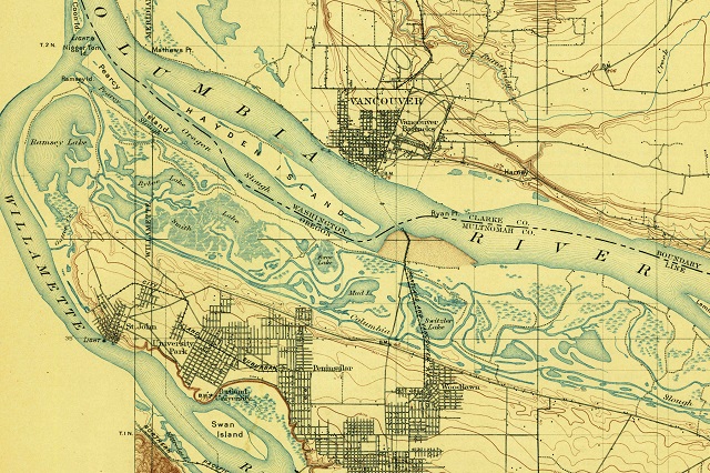
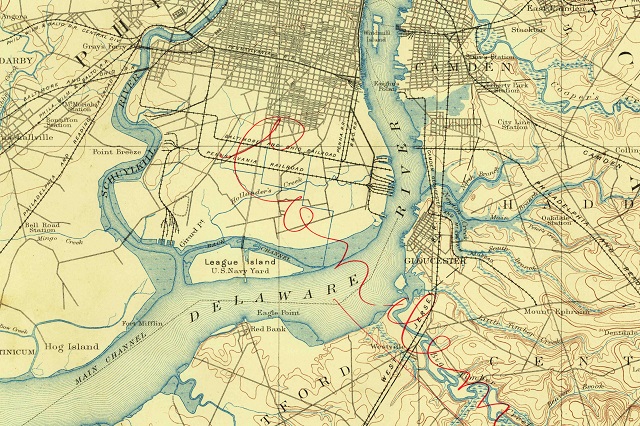
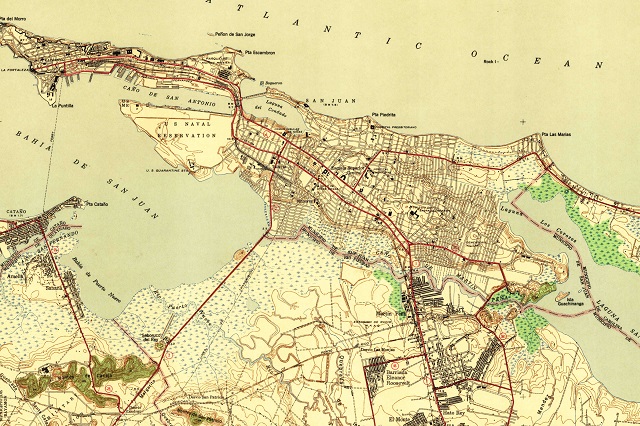
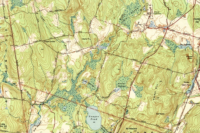
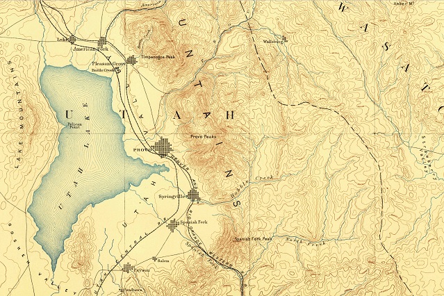
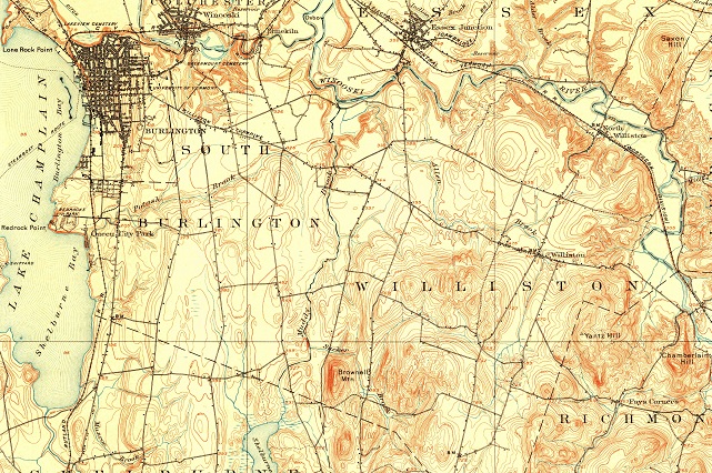
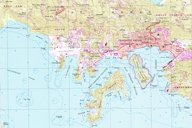
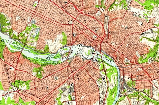
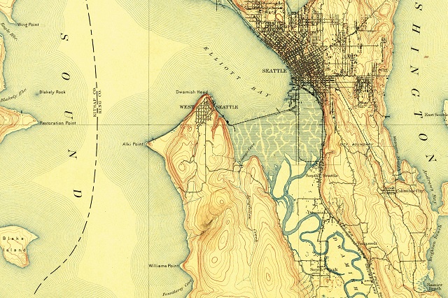
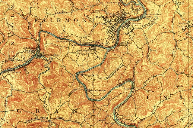
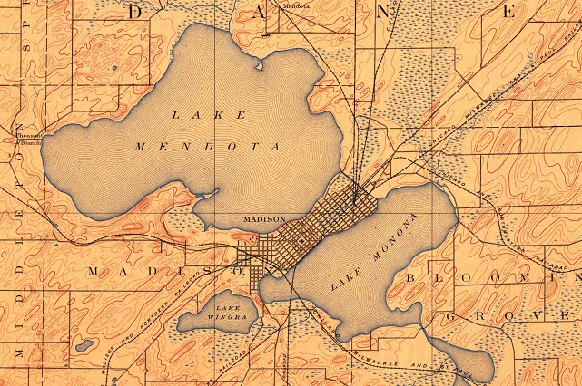
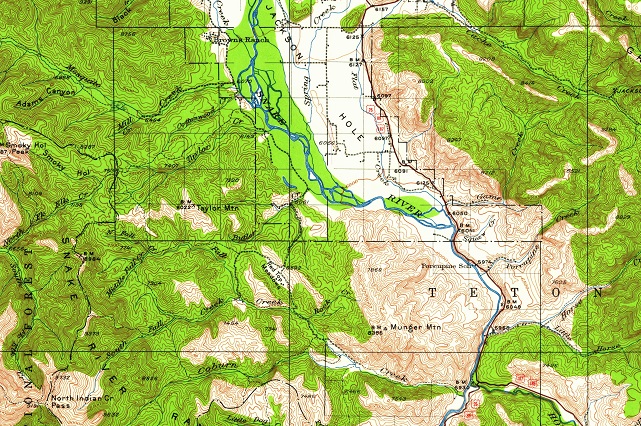
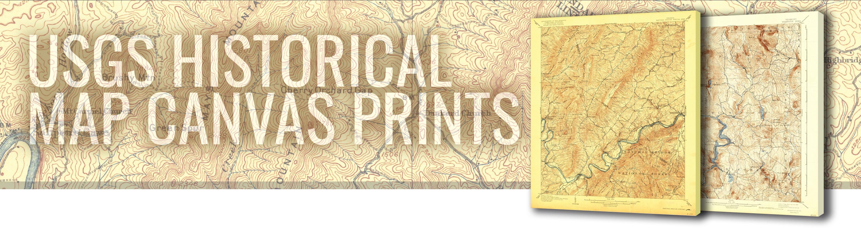
Shop WhiteClouds USGS historical topo map canvas wraps with 361,902 maps to choose from. The USGS (United States Geological Survey) was entrusted with the responsibility for mapping the country in 1879 and has been the primary civilian mapping agency of the United States ever since. Most of these topo maps are the 1:24,000-scale topographic maps, also known as 7.5-minute quadrangles. Make a statement with these beautiful topo map images from every part of the United States.