Home / Canvas Wraps / Current Map Canvas Wraps / Satellite Maps with USGS
![]()
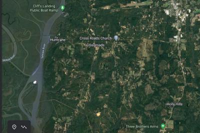
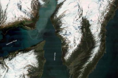
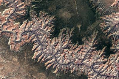
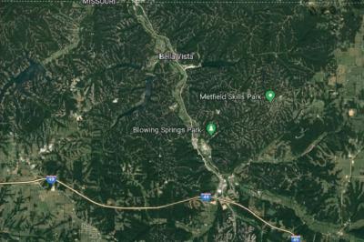
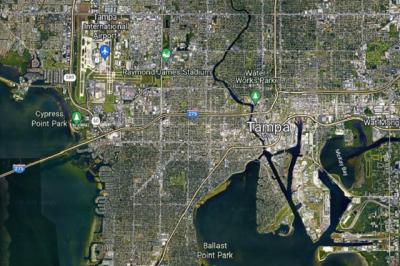
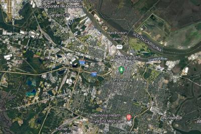
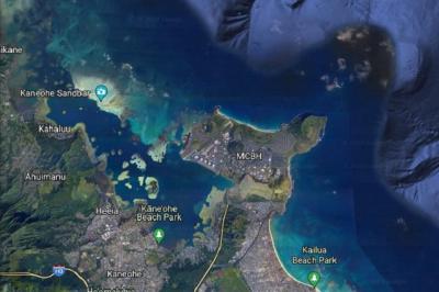
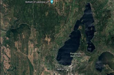
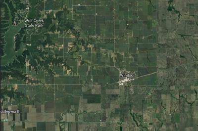
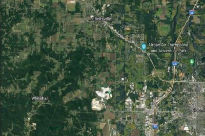
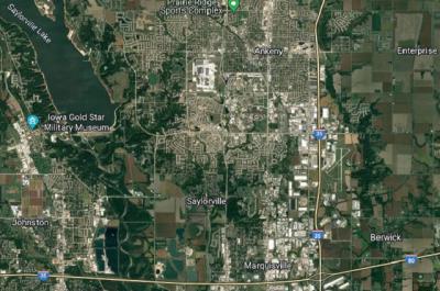
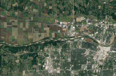
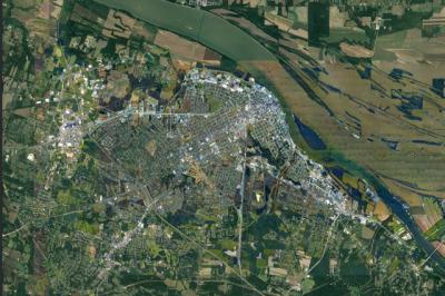
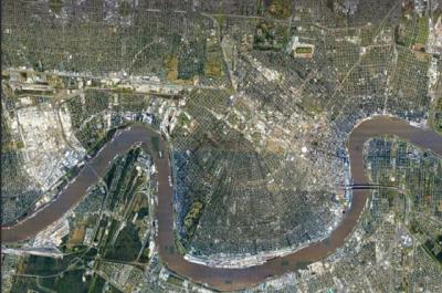
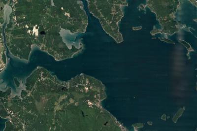
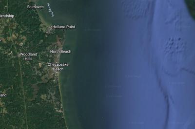
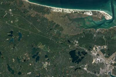
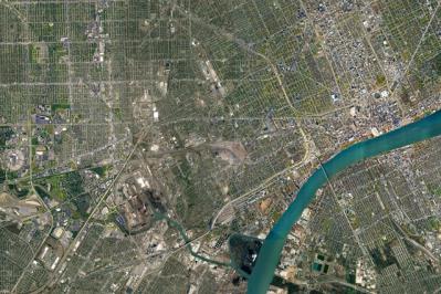
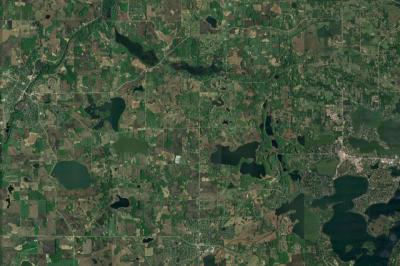
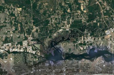
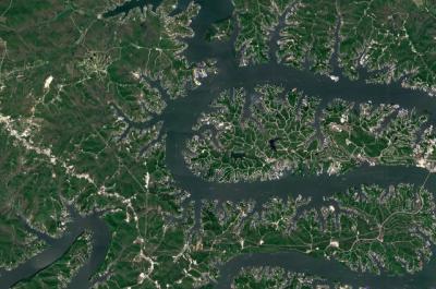
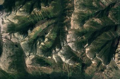
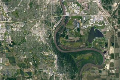
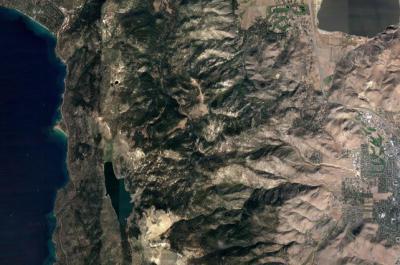
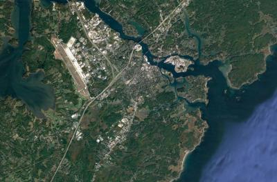
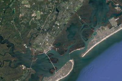
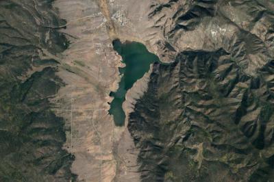
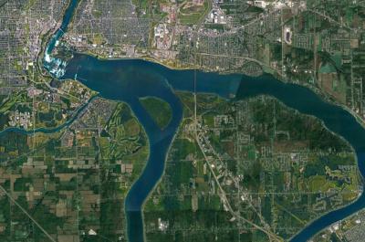
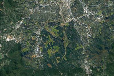
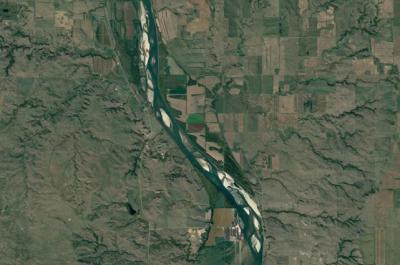
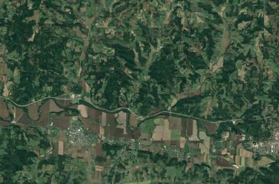
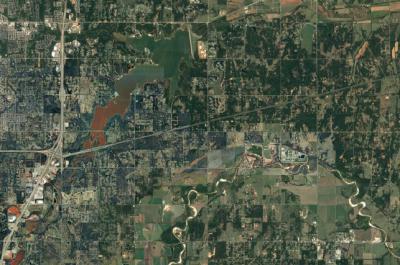
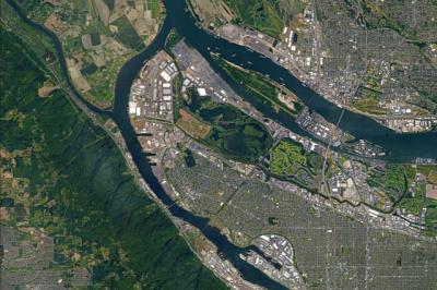
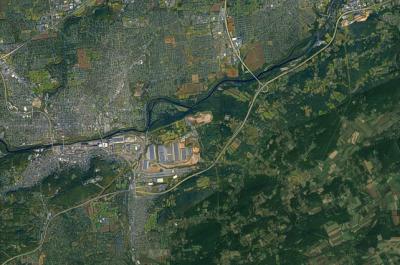
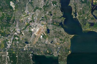
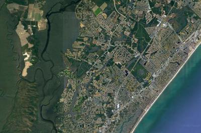
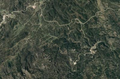
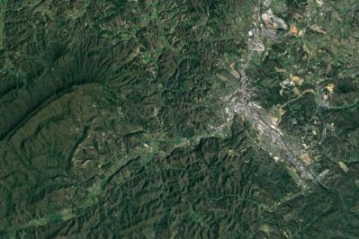
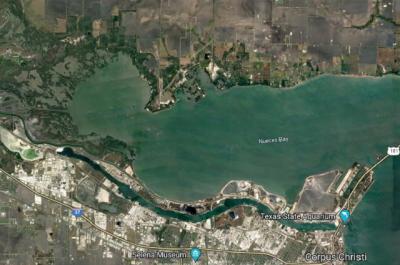
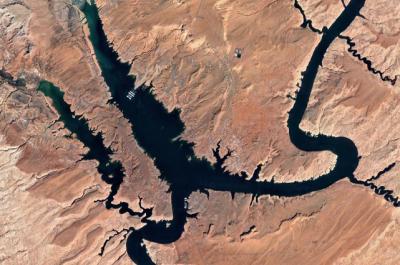
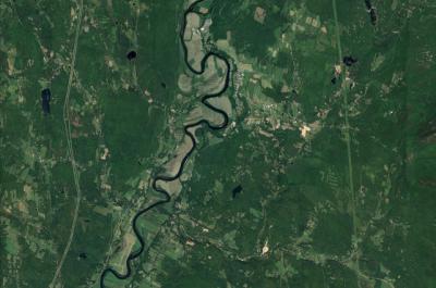
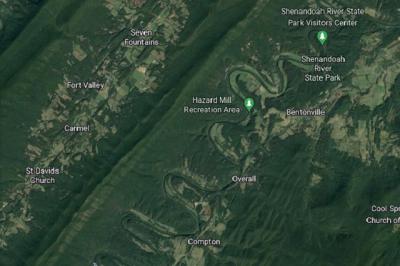
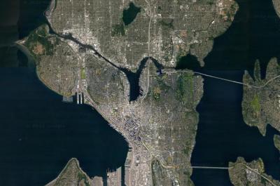
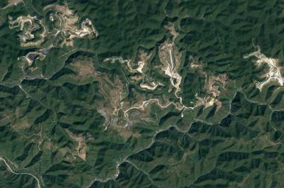
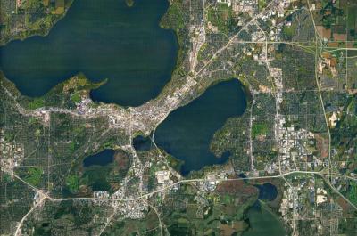
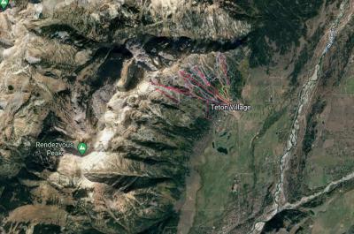
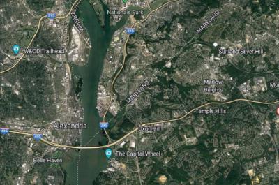
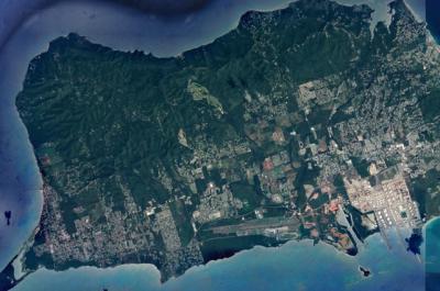
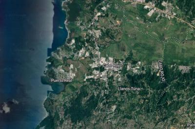
Shop WhiteClouds Satellite Map canvas wraps with 65,240 maps to choose from. These satellite maps are built by combining satellite imagery data from Google Earth and bounding box coordinates from USGS. Make a statement with these beautiful satellite map images from every part of the United States.